
Odds are you've probably heard the saying "it's not about the destination, it's about the journey." Well, since the price of gas has fallen under $2 per gallon and just about every destination (other than your house) is closed, we've put together a nifty little list of some beautiful drives you can see in the Tampa Bay area.
24 scenic drives around Tampa Bay, everyone should explore
By CL Staff on Fri, Apr 3, 2020 at 9:19 pm
Tags:
Scroll down to view images
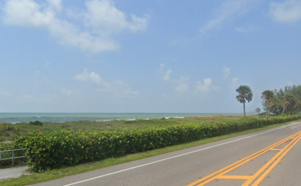
Bradenton Beach Scenic Highway
The three-mile segment of Gulf Drive stops just before Anna Maria Island. Along the drive, you’ll see some beautiful beaches and a community that’s dripping in Old Florida vibes.Photo via Bill Serne for Visit Florida
The Tamiami Trail
Here’s a little history lesson; the Tamiami Trail, also known as the Windows to the Gulf Coast Waters Scenic Highway, was built to connect the wealth in Miami to Tampa. Now, the 70-mile stretch of road that primarily runs through Sarasota is recognized as a Scenic Highway by the Florida Department of Transportation.Photo via Luis Santana for Visit Florida
Florida Black Bear Scenic Byway
It’s a little ways away from the Tampa Bay area, but the Florida Black Bear Scenic Byway offers drivers the chance to see numerous endangered species that live in the surrounding Ocala National Forest.Photo via Tom Burton for Visit Florida
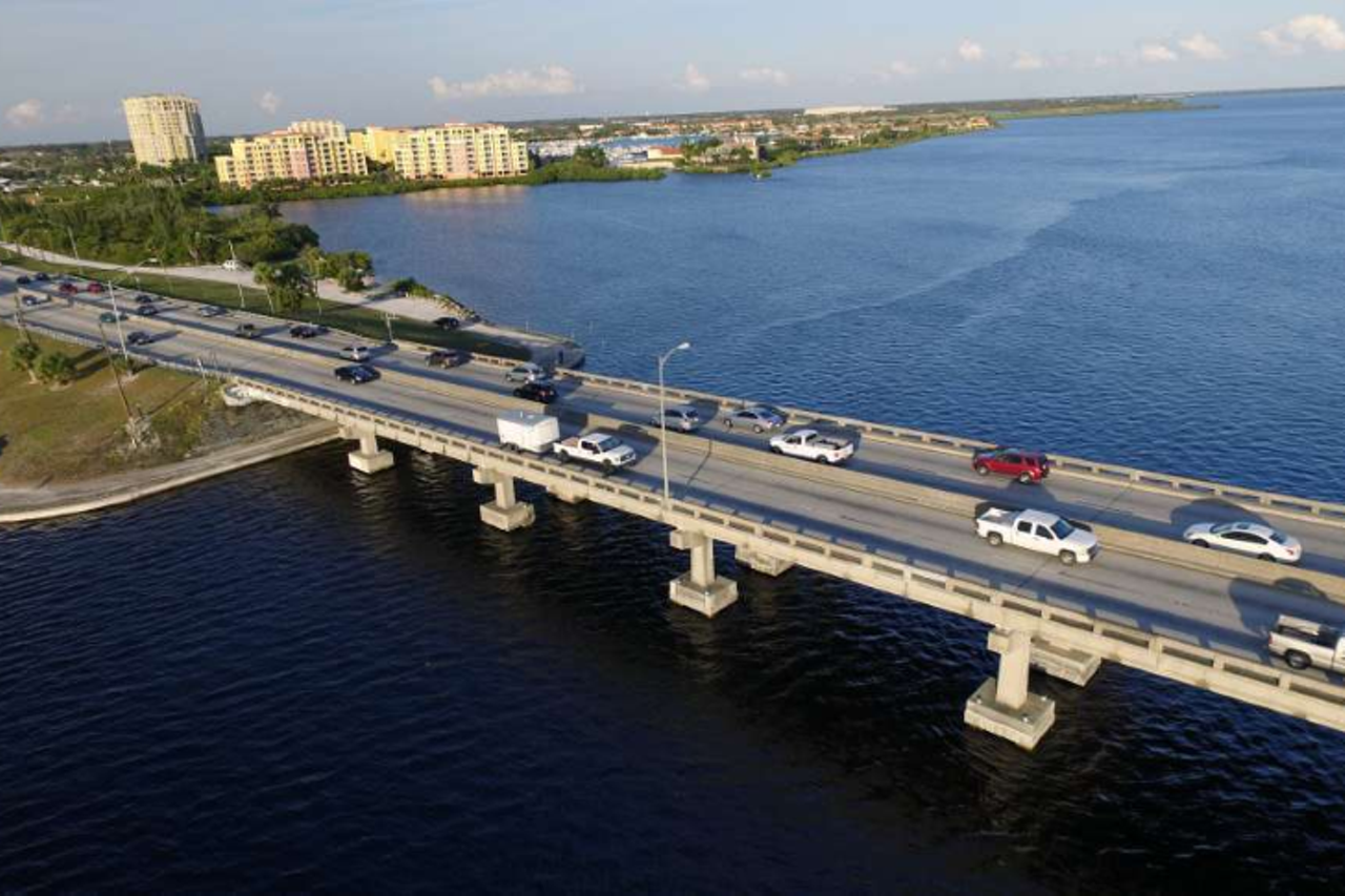
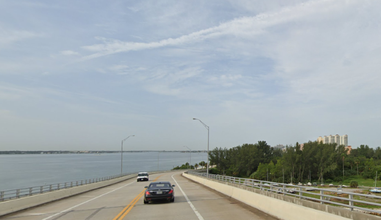
Courtney Campbell Causeway
Coming in at 9.5 miles in length, the Courtney Campbell Causeway connects Tampa to Clearwater. The waters underneath the bridge are teeming with aquatic creatures and the stretch of road is among the 26 recognized by the Florida Scenic Highways Program.Photo via Bill Serne for Visit Florida
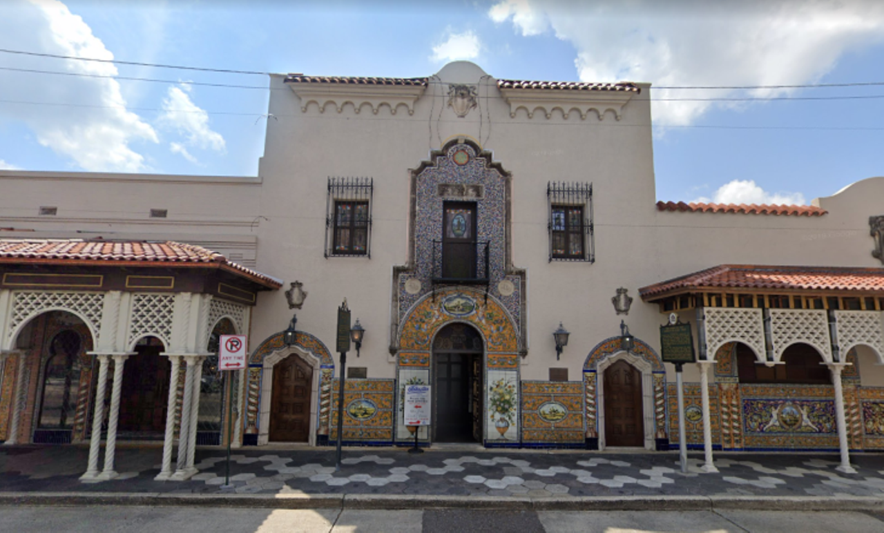
Ybor City
Stretches of East Seventh Avenue in Ybor City can make you feel like you’ve traveled back in time. You’ll know you’re in the right place when you see the Columbia Restaurant, which was established in 1905, and wild street chickens that have been a part of the city’s culture since before you were born.Photo via Google Maps
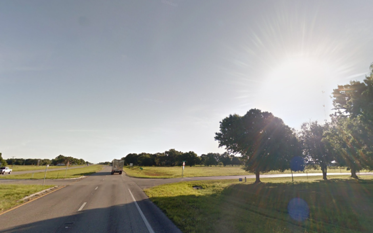
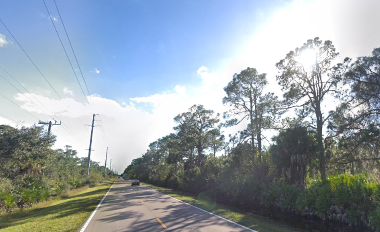
U.S. 17, Arcadia
It would likely take you a full day of travel to drive U.S. 17 in its entirety, since the numbered highway goes all the way to Virginia. Instead of driving through a huge chunk of southeast America, we suggest tackling a much smaller portion starting in Arcadia. After you get through the urban heart of the city, the road opens up to open rural space.Photo via Google Maps
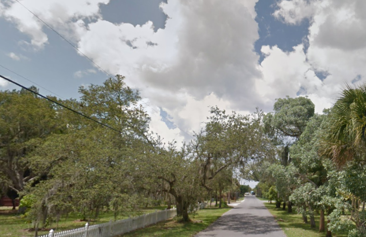
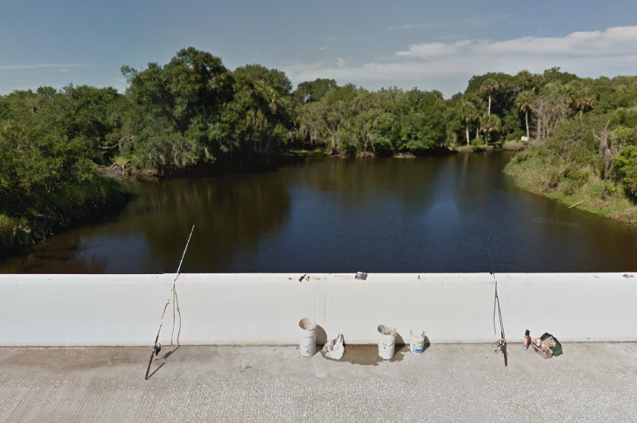
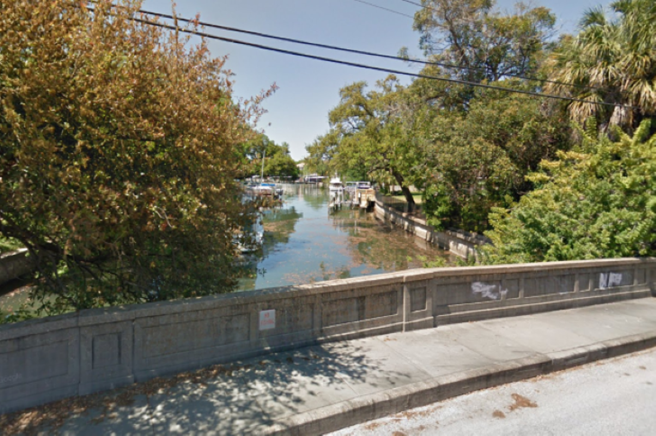
Bay Shore Road
If you’re in Sarasota, you might want to try driving along Bay Shore Road. Since it’s less than 2 miles long, it’s not too long of a drive. But, what the 5-minute drive lacks in length, it makes up for with calm neighborhoods and palm trees.Photo via Google Maps
Beach Road, Manasota Key
Although Beach Road in Manasota Key is only 1.5 miles, you can add North Beach Road and Manasota Key Road to your drive for an extra 8 miles. Sticking to just the Beach Road, a bridge will take you over Lemon Bay then you’ll get to drive through a pretty little beach town.Photo via Google Maps
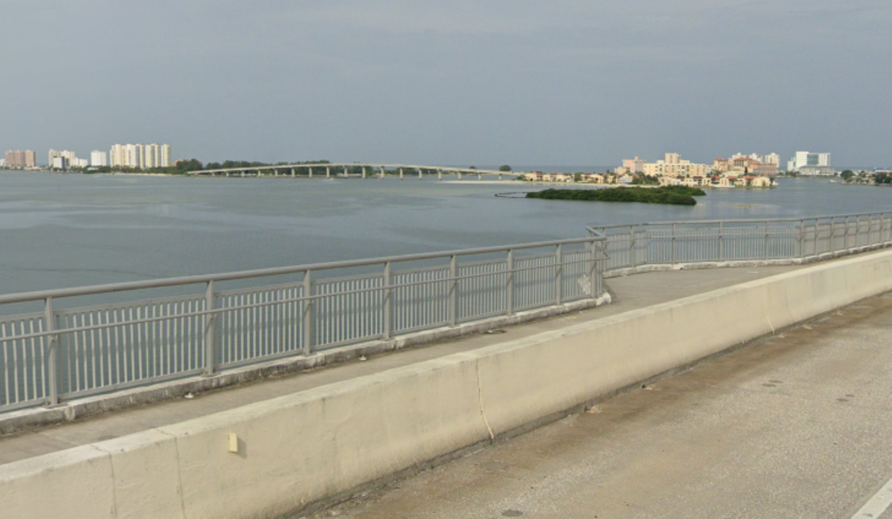
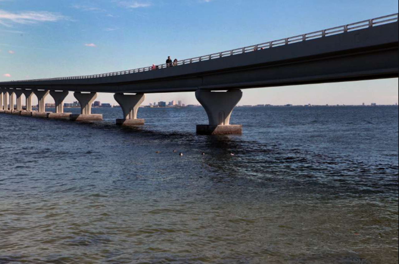
Clearwater Memorial Causeway
The 2,540-footlong bridge offers views of the intracoastal. Sidewalks on each side of the bridge get a little more wide in the middle of the bridge, so foot traffic and bike riders are able to take a moment to appreciate the view Clearwater and its waterway.Photo via Google Maps
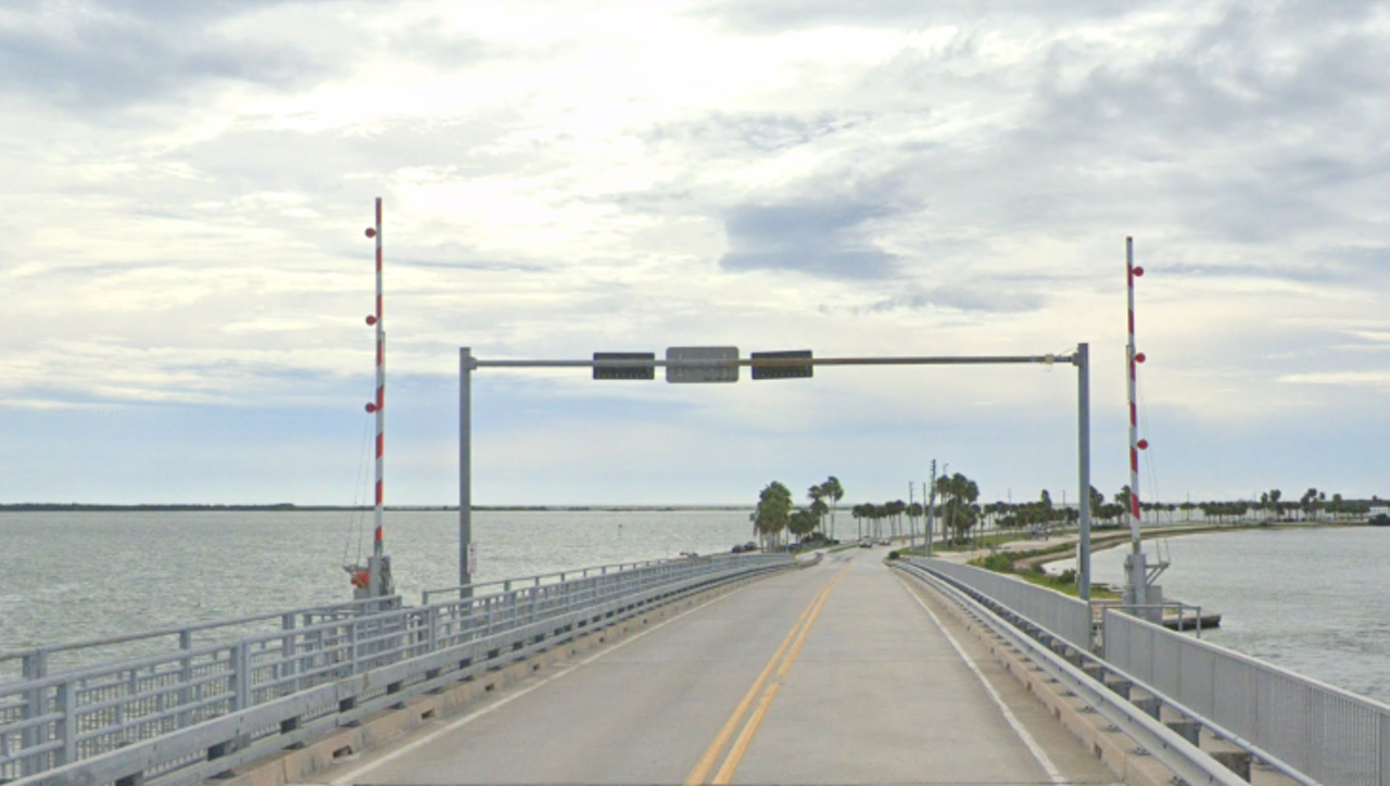
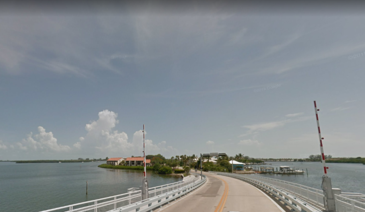
The Dunedin Causeway
The Dunedin Causeway links Dunedin (who'd have guessed) to Honeymoon Island. Although the state park is closed, nothing’s stopping you from taking advantage of the empty roads there, which offer some pretty spectacular views of the ocean.Photo via Google Maps
Gulf Boulevard
Although you aren’t always able to see the ocean from Gulf Boulevard, there are lots of fun-looking signs and palm trees throughout the drive. The road stretches for roughly 18 miles, and could take you half an hour to drive through, if you also count West Gulf Boulevard.Photo via Google Maps
Gulf of Mexico Drive, Longboat Key
Gulf of Mexico Drive runs through the entire length of Longboat Key. The drive is roughly 10 miles long and portions of the 15-minute drive offer spectacular views of the body of water the road is named after.Photo via Google Maps
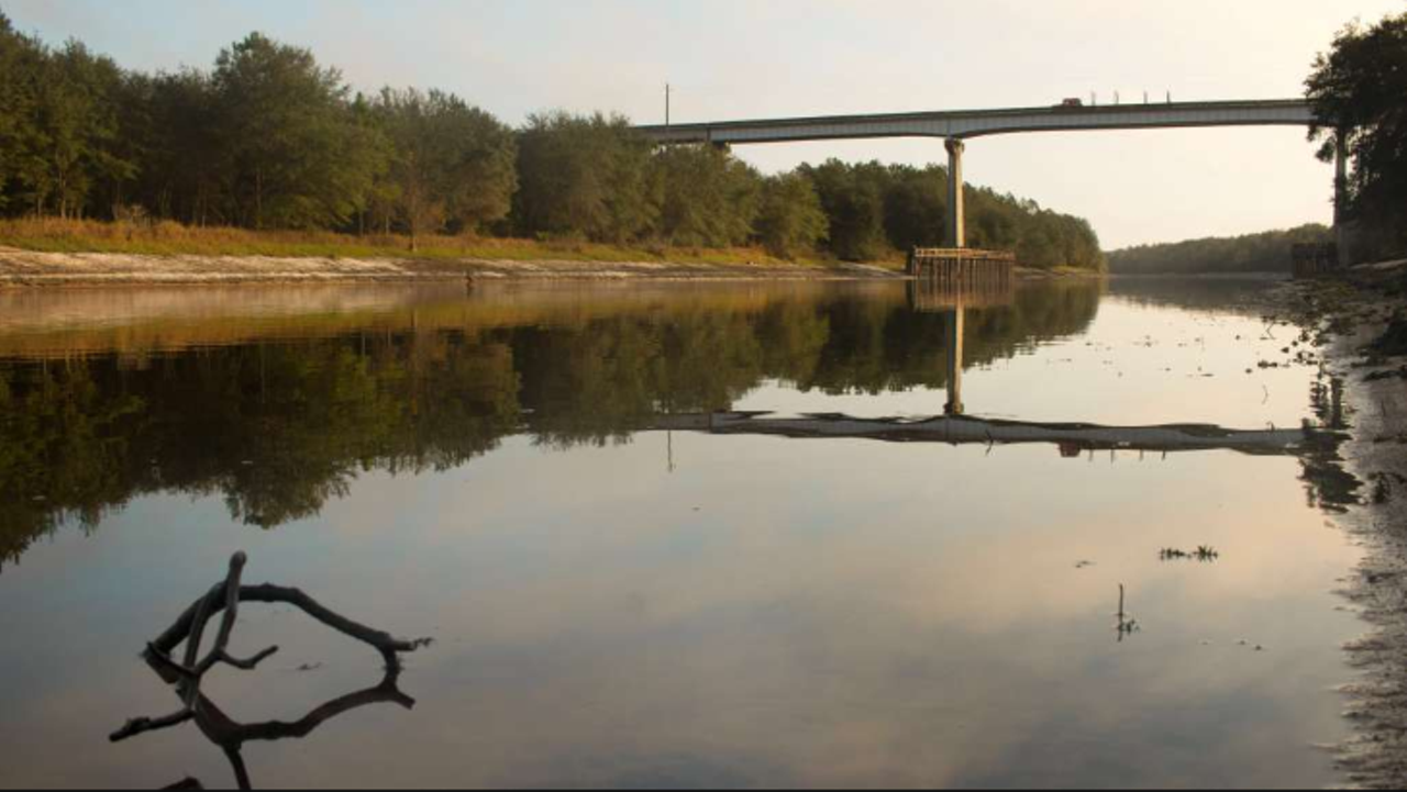
State Road 72 in Myakka River State Park
If you miss exploring the local state parks, you could try driving through Myakka River State Park. State Road 72 in Sarasota brings visitors through over 11 miles of the park with bits of Myakka River visible along the way.Photo via Google Maps
Palma Sola Scenic Highway
“Palma Sola” means “solitary palm” and refers to a lone palm tree that was used as a landmark for sailors near Anna Maria Island. The drive is capped by Palma Sola Park and Holmes Beach.Photo via Google Maps
River Road, Venice
South of Sarasota, in Venice, River Road is pretty much void of buildings. Instead, drivers who trek the almost 13 miles of River Road will be treated to some natural beauty while driving through places like Blue Heron Park.Photo via Google Maps
Riverview Boulevard, Bradenton
Running along Manatee River, Riverview Boulevard is shaded under neighborhoods filled with palm and oak trees. The drive through Bradenton’s riverside neighborhoods should only take you about 11 minutes, and is dotted with some pretty boujee looking houses.Photo via Google Maps
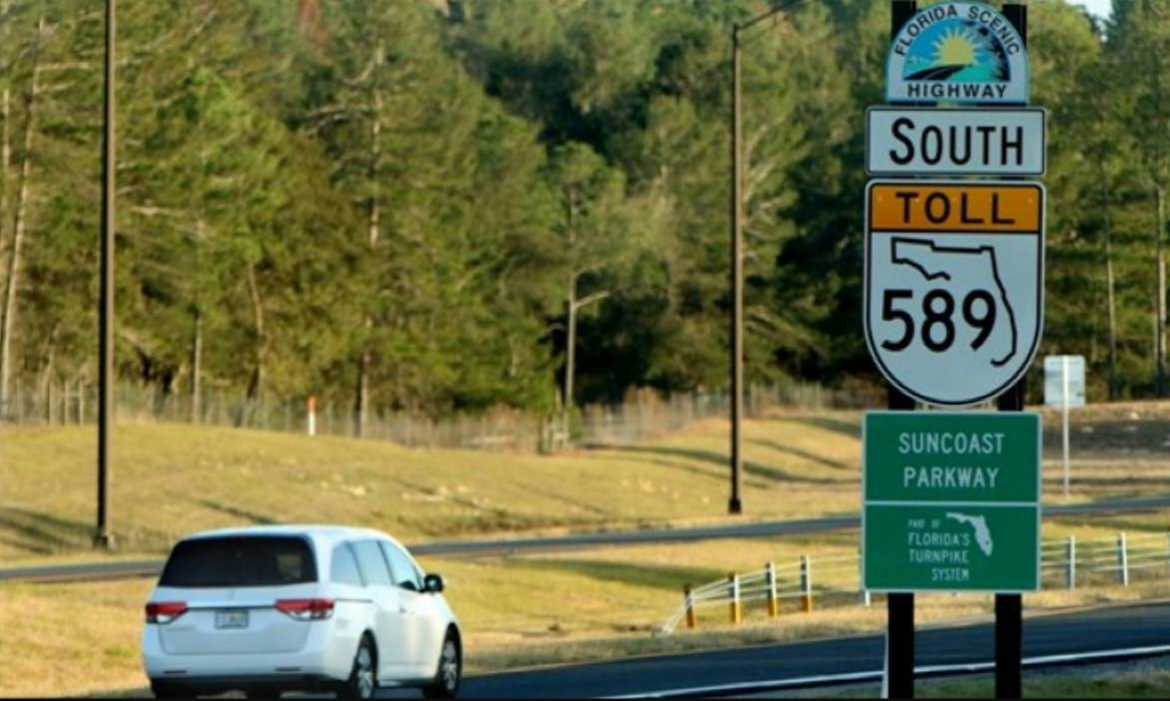
Suncoast Parkway
The Suncoast Parkway just might be the most scenic toll road you’ll ever see.Over 40 miles long, the parkway links Hillsborough, Pasco and Hernando Counties with a drive through Florida’s native landscape.Photo via Brad McClenny for Visit Florida
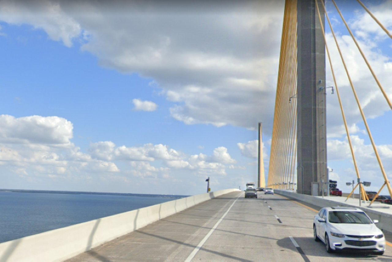
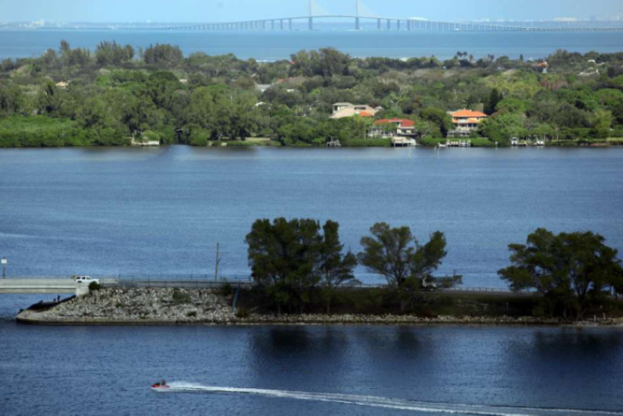
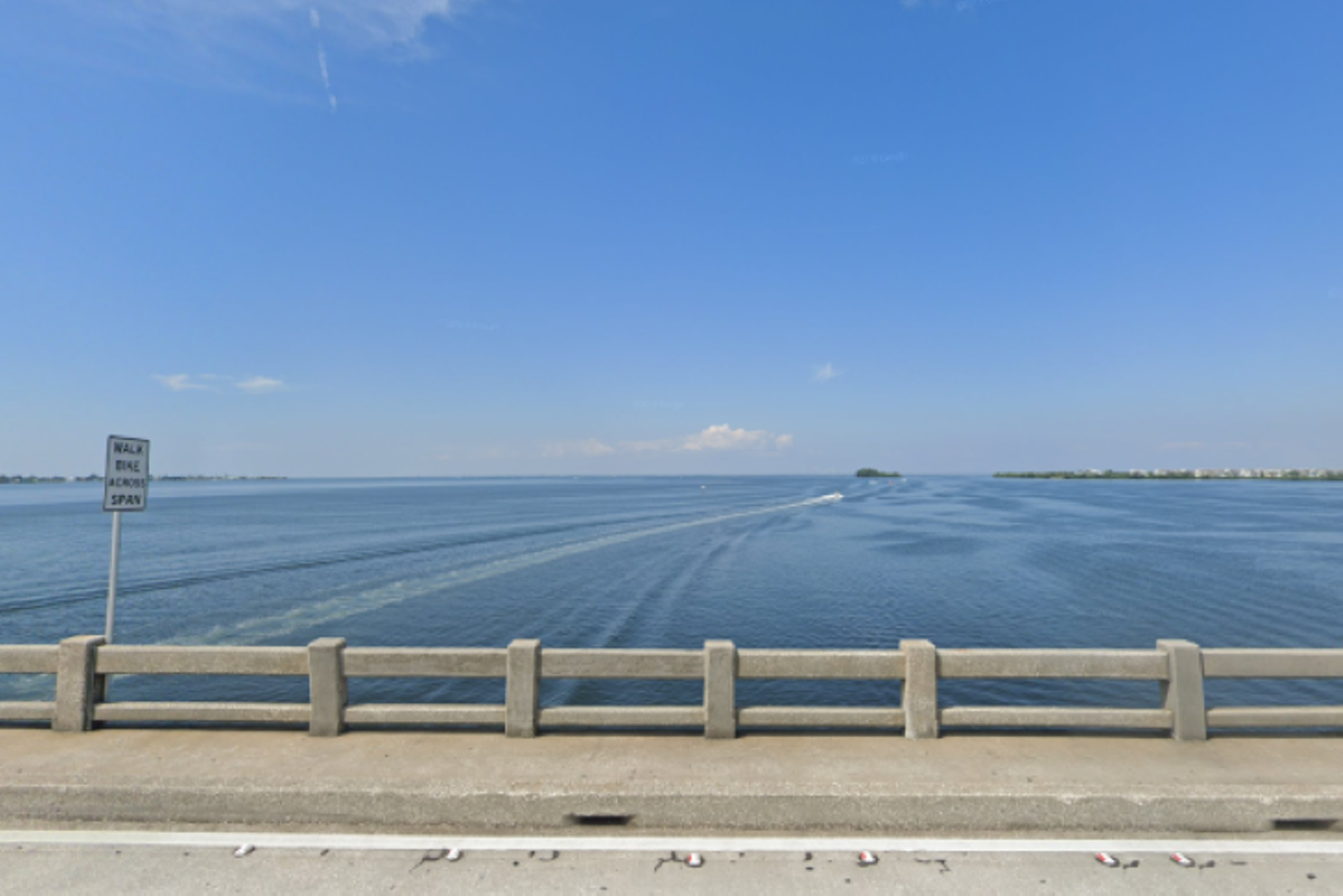
Sunshine Skyway
If you’re able to stomach the height, which is 430-feet up in the air, the iconic yellow-cabled bridge offers fantastic views of Tampa Bay. Since you probably have some extra time these days, you might want to consider pulling over at the northern rest stop after the bridge for a different perspective.Photo via Google Maps
Davis Boulevard
Turn off Bayshore Boulevard and continue past Tampa General Hospital (trying not to think about the ongoing pandemic) to start off on the Davis Boulevard loop. During the pleasant drive, you can daydream about living in one of the big beautiful houses that fill the neighborhood, plus Tom Brady just moved here.Photo via Google Maps
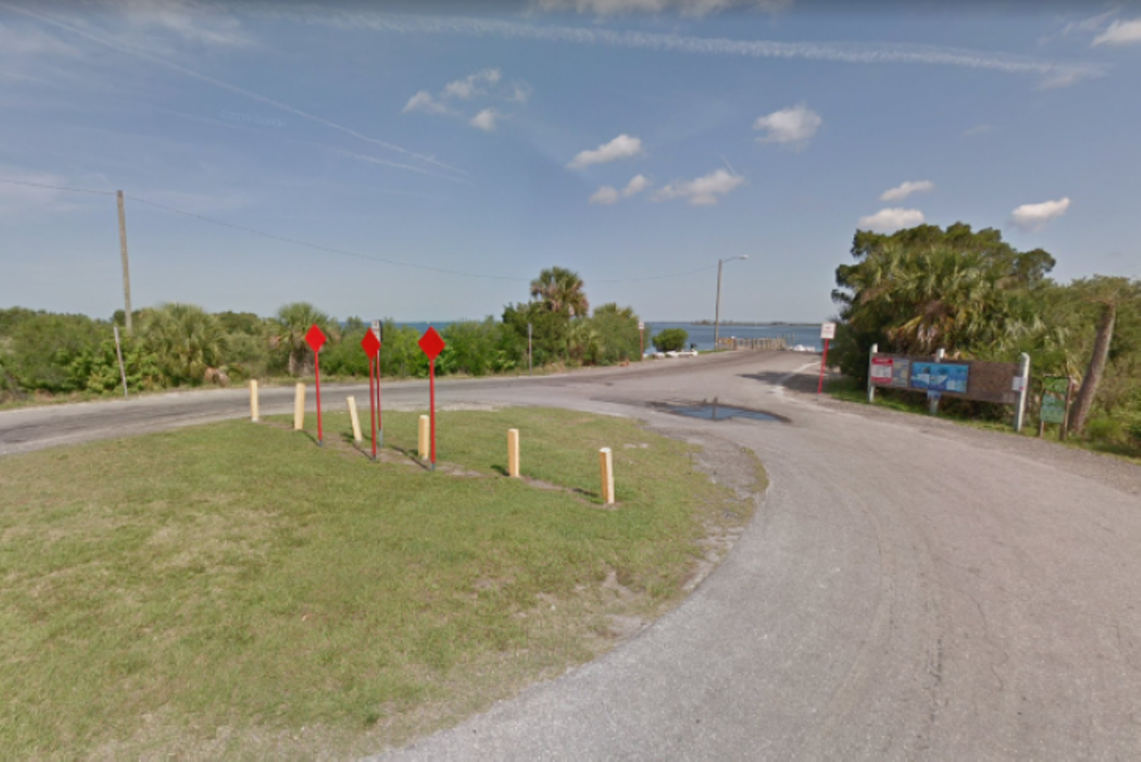
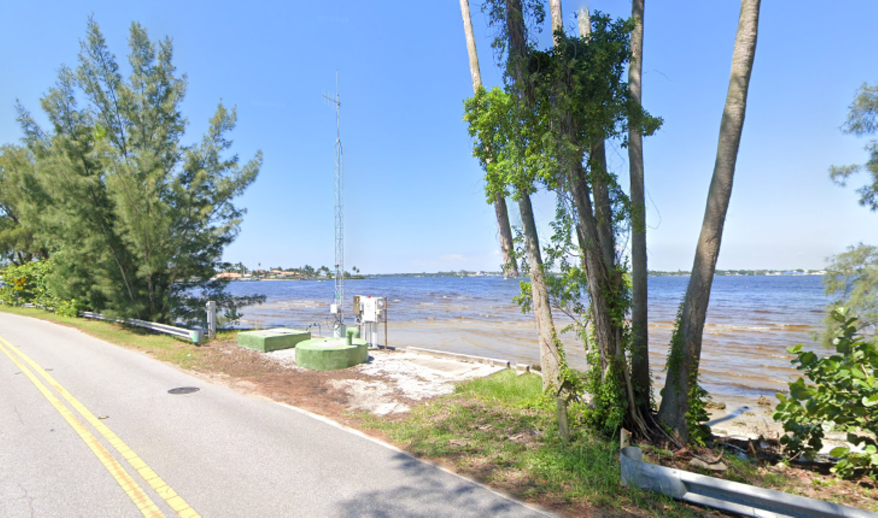
Fort Island Trail
The Fort Island Trail runs along Crystal River and comes to an end on Fort Island with a small boat ramp that gives sailors access to Crystal Bay. There’s a short bridge just past Shrimp Landing, a local seafood market, that gives drivers a great view of the waterway.Photo via Google Maps
Page 1 of 2
Chava Communications
Read our sister publications


© 2024 Creative Loafing Tampa Bay
